Honorable Mentionin the 2025 Congressional App Challenge, Oregon's First Congressional District.Learn more!
With the looming risk of a major Cascadia earthquake in the Pacific Northwest, my colleague Brian Wei and I created PREP to empower anyone, anytime, on any device with access to emergency warnings, nearby shelters and hospitals, and other preparedness information at the moment they might need it most Because it's a web application, there is no need to download anything. Users simply open it in a browser from a phone, tablet, or laptop and are ready to go. This means accessibility from anywhere.
Screenshots (click to enlarge)


Features
Emergency Resources Directory
From the resource menu, users can access a list of hospitals and emergency shelters ordered by distance. On the map itself, users can tap overlaid hospital and shelter icons, and in the sidebar, by clicking directions, users can obtain turn-by-turn directions from their current location. These directions also support walking and biking. This allows users who are evacuating or seeking care after an emergency to know exactly how to reach their destination. Users can utilize this feature to plan ahead in the event of an emergency.
- For hospitals, the application uses Google Maps Places API to pull in information including name, address, and rating.
- For shelters, we integrate publicly available shelter data from the official City of Portland database. In the future, this can be expanded to other cities as most large cities have similar databases available.
- Directions are powered by Google Routes API with support for driving, walking, and biking so users can get help no matter what situation they are in.
Real-Time National Weather Service Alerts
Colored polygons on the map represent National Weather Service alerts from the official NWS API. The polygons take the shape of the affected areas. By clicking on them, users can see essential information clearly, including the type of advisory, when it was issued, when it expires, a summary, and instructions for how to respond. When a disaster is imminent (such as a tsunami risk, earthquake aftershock, or other hazards), users will be able to see it immediately on the map.
Wildfire Alerts
PREP pulls in alerts from the National Interagency Fire Center through WFIGs. Wildfires are displayed on the map with fire icons. By clicking on them, users can view essential information in the sidebar including the burn area and containment progress.
Preparedness Checklist
Survival after a major event depends on preparation. PREP includes a comprehensive checklist compiled from various sources. Users can mark off items, review what they still need, and print the checklist as well. The checklist can be put into full-screen mode for focused planning.
Offline Access
Every feature in PREP is printable. Users can print directions, shelter information, hospital details, the entire resource directory, and the preparedness checklist. This ensures that users have printed information sheets accessible during an emergency when digital devices may not be available.
Technical Details
This web application was developed using Next.js—the same framework that enterprise-grade applications rely on every day, such as Instagram, Facebook, and Netflix.
We have implemented an intelligent caching system that stores data on the user's device so the website remains operational even with network disruptions. This ensures that the application works smoothly and is ready for real-world scenarios.
In any disaster scenario, infrastructure may be damaged and cell networks may go down. Having device-agnostic, offline, printable, and location-aware preparedness tools means users are not caught unprepared.
Community Impact
Anyone living or working in a region at risk of natural disaster, especially in the Pacific Northwest with the threat of a potential Cascadia earthquake, needs an easy, reliable way to access emergency preparedness information. PREP provides clear, actionable information when it matters most.
With PREP, we hope to empower users in the Portland area to stay prepared—not just in the moment of crisis, but ahead of it.
Data Sources & APIs
- Google Cloud Places API: Hospital information
- Google Routes API: Turn-by-turn directions
- City of Portland Open Data: Emergency shelter locations
- National Weather Service API: Real-time weather alerts
- National Interagency Fire Center (WFIGs): Wildfire tracking and alerts
Video Overview
Developed by Brian Wei and Siddharth Modha for the 2025 Congressional App Challenge. Recognized by Congresswoman Suzanne Bonamici.
Other Projects
Here are some things that I have worked on.
Preparedness & Response for Emergency Planning (PREP)
Congressional App Challenge Honorable Mention, PREP helps communities prepare for emergencies by providing real-time weather and wildfire alerts, hospital and shelter locators with turn-by-turn directions, and more.

RESOLVED Storefront
A full-scale, custom-designed e-commerce platform for RESOLVED, an editing toolkit for DaVinci Resolve. I designed and developed every aspect of the storefront with Next.js and GraphQL to create a high-performance shopping experience trusted by thousands of editors worldwide.

Projections for Lincoln High School's "Amélie"
I established the projections department, designed all the media, and installed the equipment for Lincoln High School's theatrical production of "Amélie".
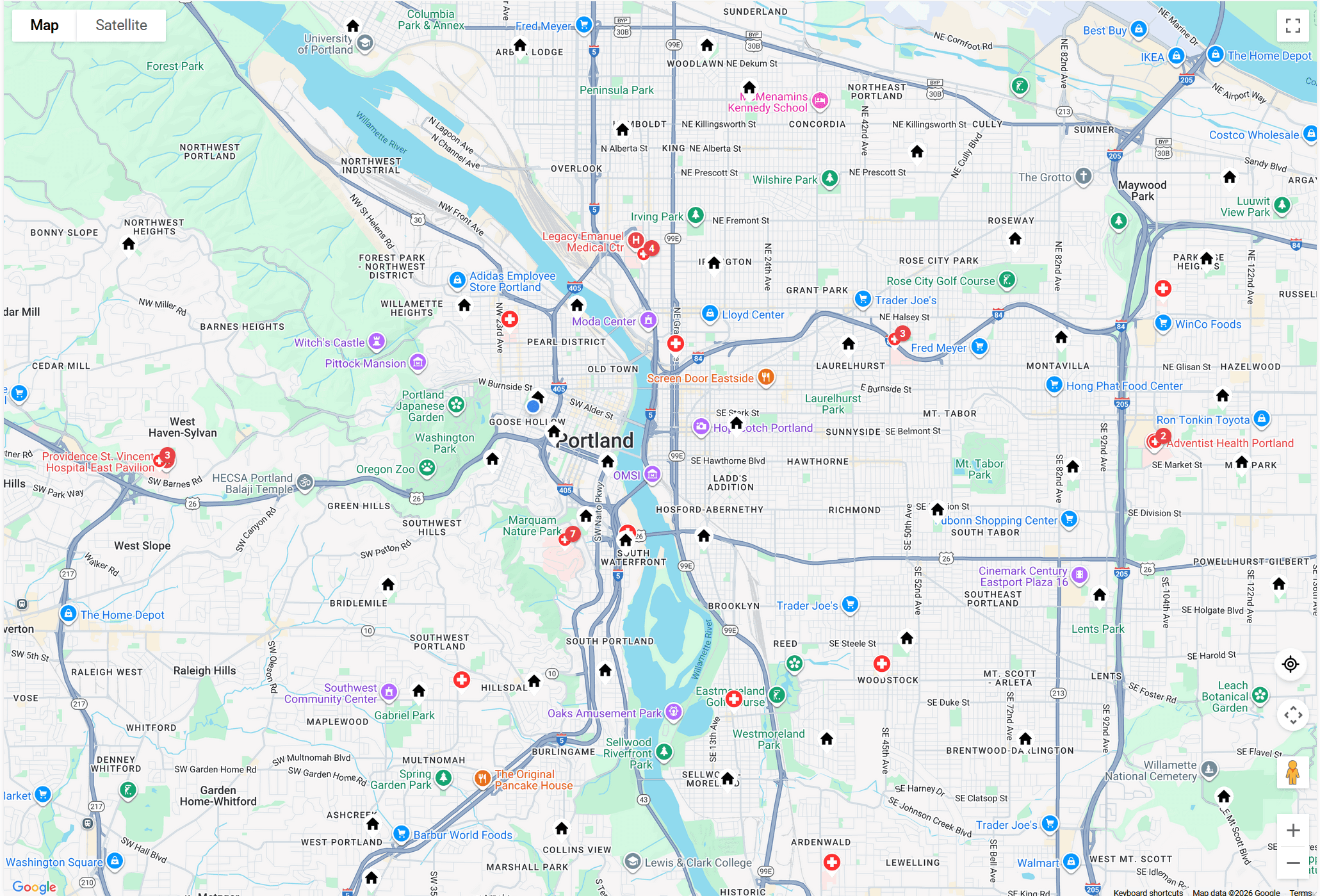
Lincoln HS Computer Science Association
I designed and coded the website of Lincoln High School's Computer Science Association.

PurAI's Website
I designed a documentation-first website for PurAI with a polished visual system, strong hierarchy, and a more distinctive brand presence.
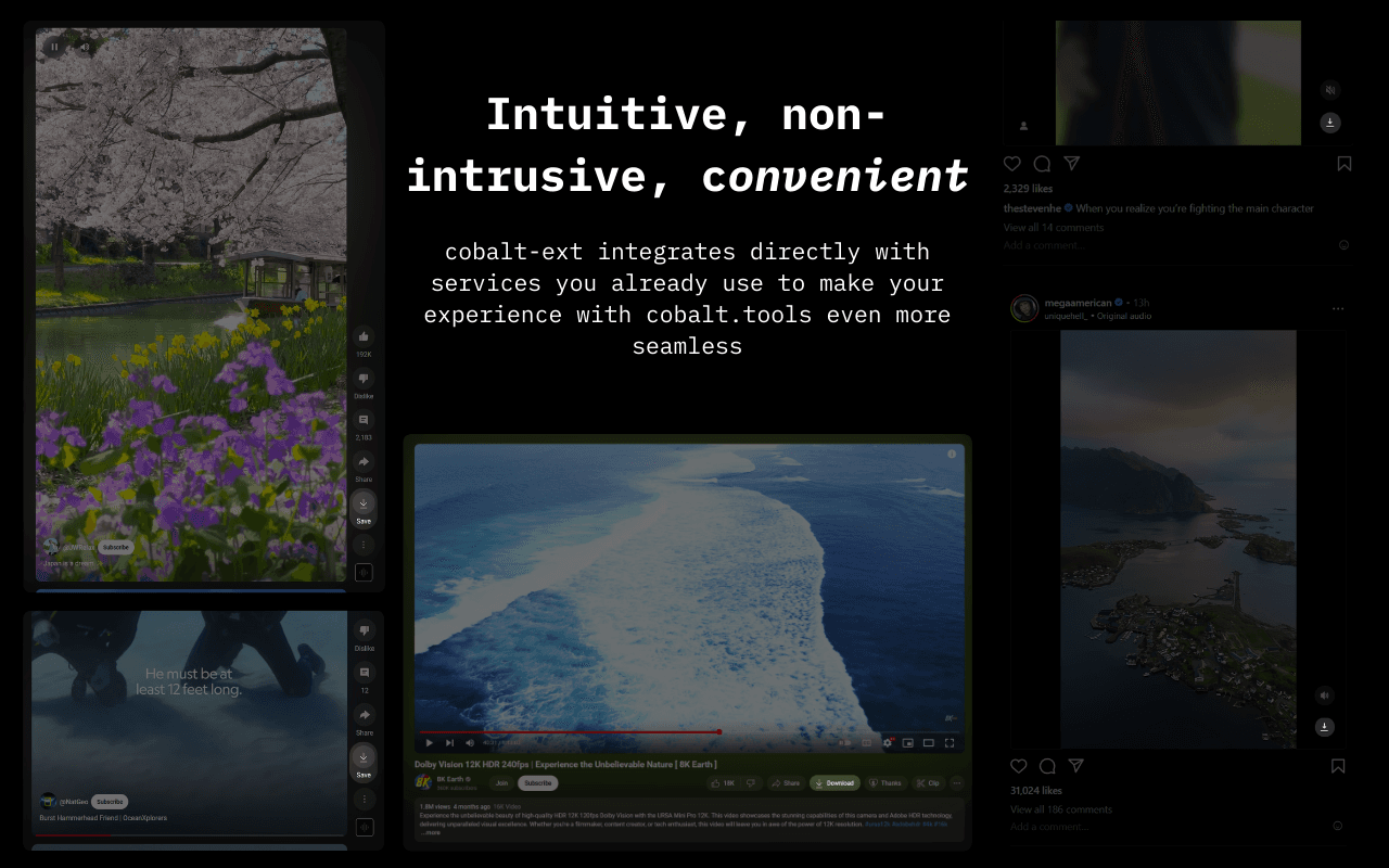
cobalt-ext
a browser extension that allows you to conveniently download Instagram reels, YouTube videos/shorts, and videos on Twitter, with a thoughtful design. Powered, but not affiliated with, cobalt.tools

Lightshows
Making lights sync to music.